農学における情報利用研究フォーラムグループ > 農学における情報利用ゼミナール
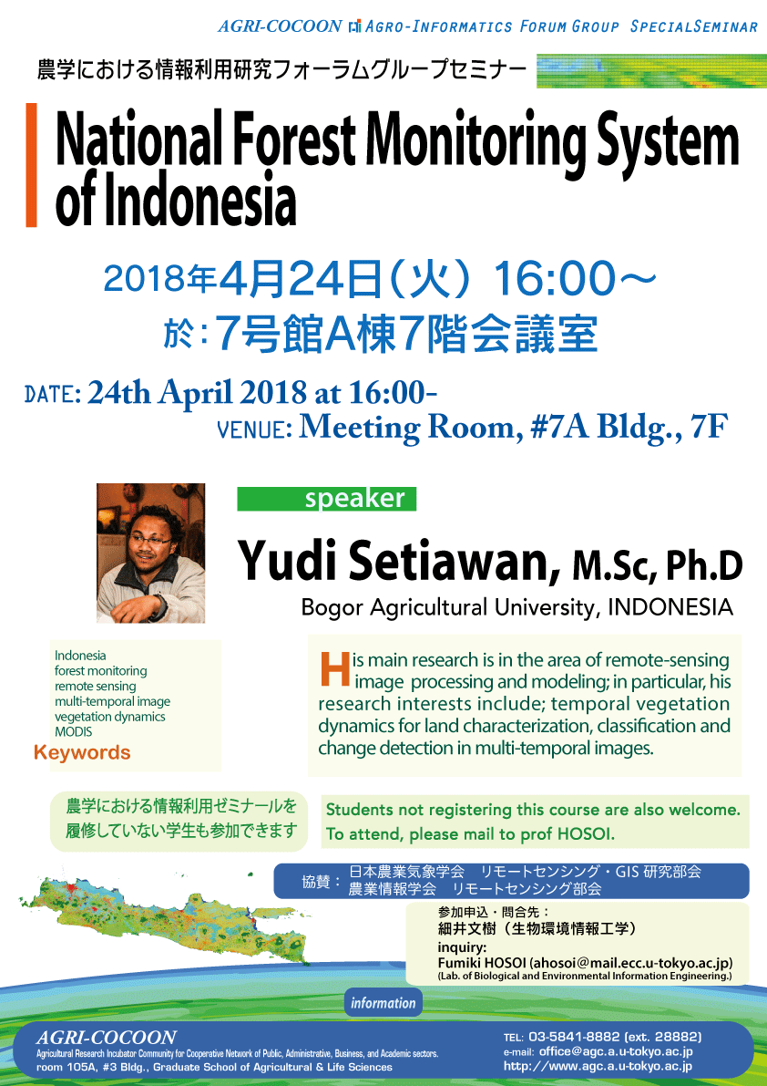
National Forest Monitoring System of Indonesia
講師:Yudi Setiawan, M.Sc, Ph.D
1. Department of Forest Resources Conservation and Ecotourism, Faculty of Forestry, Bogor Agricultural University, INDONESIA
2. Center of Environmental Research, Research and Community Services Institute, Bogor Agricultural University, INDONESIA
農学における情報利用ゼミナールを履修していない学生も参加できます。ご興味のある教員・学生の参加を歓迎します。
| 日時: | 2018年4月24日(火)16:00〜 |
| 教室: | 農学部7号館A棟7階会議室 |
| 協賛: | 日本農業気象学会 リモートセンシング・GIS研究部会
農業情報学会 リモートセンシング部会 |
| 参加申込・問合先: | 細井文樹(生物環境情報工学)
mail: ahosoi[at]mail.ecc.u-tokyo.ac.jp |
abstract:
To monitor the condition of forests, mainly deforestation, since 1990 the government of Indonesia has conducted a visual classification of land cover based on Landsat satellite imagery at a scale of 1 : 250 000. This classification resulted in 23 classes of land cover. At the beginning, data throughout Indonesia were published every 3 years, then in 2010 published every two years and since 2012 were published every year. The deforestation
that occurred in the period 2013-2014 amounted to 0.4 million ha/year in
both forest and non-forest areas (Directorate of Inventory and Utilization
of Forest Resources, 2015).
At the global level have also been carried out forest mapping using digital
classification using Landsat satellite imagery (Hansen et al., 2013). By
using this data Indonesian deforestation in the period 2011 – 2012 reach 2
million ha / year. This figure is more than double compare to the figures
published by the Ministry of Forestry. Huge differences in the calculation
have made the accountability of national data published officially by the
Indonesian government decrease. Actually, this is due to the classification
methodology differences and definition of the forest. The differences lead
to the confusion of the implementation of REDD and calculation of the
global reduction target of greenhouse gas emissions from forestry and land
use sectors.
Forest definition required by the United Nations Framework Convention on
Climate Change (UNFCCC) includes three variables, namely the percentage
crown (crown cover), High tree (tree height) and the minimum area (minimum
area) (http: //cdm.unfccc. int / DNA / index.html). Indonesia has assigned
the definition of forest are: a minimum area should be larger than 0.5 ha,
with a minimum height of 5 m and a canopy cover greater than 30%. The
definition of forest area by using the minimum criteria can be determined
easily, but if also incorporate criteria for the classification of high and
canopy forests using satellite imagery data digitally need a series of
further research. We need to develope a reliable method that can provide
information of forest cover and forest cover changes immediately through
integration of the multi-temporal imagery and other remote sensing
datasets, such as the SAR data, LIDAR, DSM/DTM and high-resolution optical
imageries.
Moreover, regarding to the deforestation and forest degradation issue in
Indonesia, it is an urgent need to develop near-real time forest
monitoring, that can be seen by the public to make sure the transparency of
forest resources management. Remote sensing technology seems to be a
powerful tool for monitoring and assessing the changes in forest cover
immediately. Our results indicated that the use of MODIS data as a basic
information in the near-real time system offers great promise to detect the
forest cover change in Indonesia’s forestland, since about 90.07% of area
assigned to be a change area; had actually changed. Meanwhile, about 34.97%
of the forest cover change was not assigned to be a change area by the
system. This result showed the need to evaluate the threshold in detecting
forest cover change. Although the threshold issue is quite problematic in
forest cover change detection, the results show that the methodology
proposed in this study provides sufficient and useful information in forest
monitoring; this includes the location, time and trajectories of the
changes.